Historically, the lake was connected to the Columbia River and degradation of water quality began shortly after flood control structures for the Columbia River were constructed, which severed the connection to ‘flushing’ water. Nutrient and sediment loading has increased over time, and hypoxia (low dissolved oxygen concentrations) and harmful algae blooms containing cyanobacteria in the lake led to poor water quality as early as the 1960s.
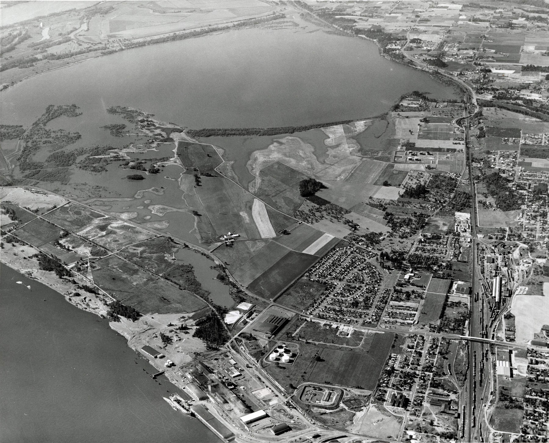
The first detailed water-quality study of the lake took place in 1967–68 by scientists at Washington State University (Bhagat and Orsborn, 1971). This early work was undertaken to assess how water quality would change if the hydrological characteristics of the lake were altered by the addition of a ‘flushing channel’ that would reconnect the lake directly to the Columbia River. The hope was that restoring this connection would decrease residence times in the lake and promote better flushing that would address water-quality issues. In the early 1980s, the flushing channel was completed.
The project included a large dredging operation, which formed a small island in the lake. Vancouver Lake is now hydrologically connected to the Columbia River by Lake River to the north, and by the Flushing Channel in the southwest. Compared to previous work, nutrient concentrations in the lake have declined, but high sediment loads are still a problem and the lake still experiences water-quality problems. Source: USGS 2010-2012.
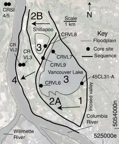
Late Holocene chronology and geomorphic development of fluvial–tidal floodplains in the upper reaches of the lower Columbia River Valley, Washington and Oregon, USA. Read more…
On this map of Vancouver Lake and former Shillapoo Lake, Floodplain-forming sequences are numbered from 1 oldest to 4 youngest and are based on scroll bar ridges and basal radiocarbon and tephrochronology dates from core sites. These core samples indicated Vancouver Lake has been here for at least 4,900 years. See the study text for explanation of numbered sequence. Shillapoo Lake no longer exists and the Vancouver Lake shorelines have receded due to lowering of seasonal water levels in the Columbia River and draining of the surrounding floodplains. Both ongoing impacts lower the groundwater surface in the Vancouver Floodplain, which supports water levels in the bullseye lakes. The Vancouver Lake water surface elevation represents a window into the local groundwater levels in the Vancouver Floodplain.
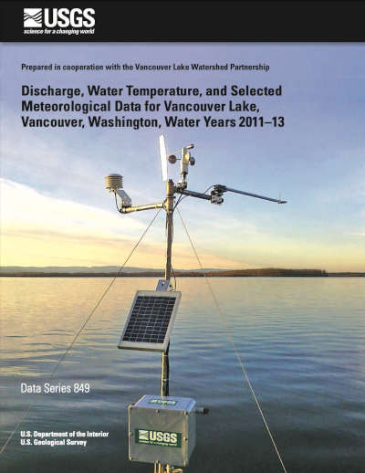
Discharge, Water Temperature, and Selected Meteorological Data for Vancouver Lake, Vancouver, Washington, Water Years 2011–13. Read more…
The U.S. Geological Survey partnered with the Vancouver Lake Watershed Partnership in a 2-year intensive study to quantify the movement of water and nutrients through Vancouver Lake. This report was intended to assist the Vancouver Lake Watershed Partnership in evaluating potential courses of action to mitigate seasonally driven harmful algae blooms (HAB) containing cyanobacteria, and to improve overall water quality of the lake. The report contains stream discharge, lake water temperature, and selected meteorological data that was collected in support of the development of a water and nutrient budget for the lake for water years 2011 to 2013.
The report data was collected from six sites within the Vancouver Lake watershed. Site locations, methods, and assessments of data quality also are included in this report.
